Hesai | MT Ultra-High-Resolution 320° Mapping Lidar
Hesai MT: ultra-high spatial resolution lidar for high-precision 3D reconstruction, 320° field of view, 3.5 mm precision, 300 g.
Hesai MT: ultra-high spatial resolution lidar for high-precision 3D reconstruction, 320° field of view, 3.5 mm precision, 300 g.
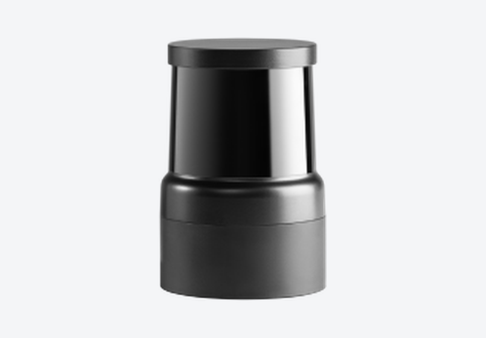
Hesai MT: ultra-high spatial resolution lidar for high-precision 3D reconstruction, 320° field of view, 3.5 mm precision, 300 g.
Hesai's MT is an ultra-high spatial resolution lidar built for high-precision 3D reconstruction. It is a short-range mapping sensor with a 320° horizontal field of view, 3.5 mm range precision and ±7 mm accuracy, in a 300 g housing 64 mm across and 94 mm tall. Two configurations cover different vertical fields: the 30° version reaches 64 m at 284,500 points per second, and the 60° version reaches 40 m at 569,000 points per second, both single return. A beam spot 70% smaller than the previous generation, together with cumulative scan densification, is what puts fine detail into the point cloud. The MT is certified to Class 1 eye safety.
Beam spot 70% smaller than the previous generation, for finer detail in the point cloud
Range precision improved by 30% over the previous generation, at 3.5 mm
Cumulative scan densification builds detail as the scan repeats over a surface
Over 40% lighter than the previous generation, at 300 g — practical for handheld and UAV work
Class 1 eye safety certified
Typical applications of the MT Ultra-High-Resolution 320° Mapping Lidar include:
Handheld scanning and mobile mapping
Vehicle-mounted mapping and mobile laser scanning
Terrestrial laser scanning
Stockpile volume measurement
High-precision 3D reconstruction and digital-twin capture
What is the MT Ultra-High-Resolution 320° Mapping Lidar?
Hesai's MT is a short-range lidar designed for high-precision 3D reconstruction, with a 320° horizontal field of view, 3.5 mm range precision and ±7 mm accuracy. It is available in a 30° vertical field of view reaching 64 m, and a 60° version reaching 40 m.
What is the difference between the 30° and 60° versions of the MT?
Both share the same housing, precision and accuracy. The 30° version reaches further — 64 m against 40 m — while the 60° version covers twice the vertical field and outputs 569,000 points per second against 284,500. Choose the 30° version for reach along a corridor, the 60° version for coverage in confined or vertical spaces.
Is the MT Ultra-High-Resolution 320° Mapping Lidar suitable for handheld scanning?
Yes. At 300 g it is over 40% lighter than the previous generation, which is what makes handheld and UAV-mounted scanning practical, and cumulative scan densification means detail builds up as the operator passes over a surface.
Where is the MT Ultra-High-Resolution 320° Mapping Lidar available?
The MT Ultra-High-Resolution 320° Mapping Lidar is available through Leo Drive. Please contact Leo Drive for availability and lead time in your region.
How can I get the datasheet and technical documents for the MT Ultra-High-Resolution 320° Mapping Lidar?
Please contact Leo Drive to request the datasheet, user manual and other technical documents for the MT Ultra-High-Resolution 320° Mapping Lidar.
The MT Ultra-High-Resolution 320° Mapping Lidar is part of the Lidar Sensors range at Leo Drive. Browse all autonomous vehicle sensors and components, or talk to our engineering team about integration in your project.