
By İrem Sena Gölcük · August 2026
A sensor suite is specified as a list of part numbers: a 120° × 25.4° lidar, a pair of 60° cameras, a corner radar at ±75°. Those figures are correct. They do not tell you whether the vehicle carrying them can see the kerb in front of it.
fovlab is a browser tool for checking that before the parts are ordered. It places a platform and its sensors in the same space and draws what the fields of view cover. It is free and needs no account: fov.leodrive.ai.
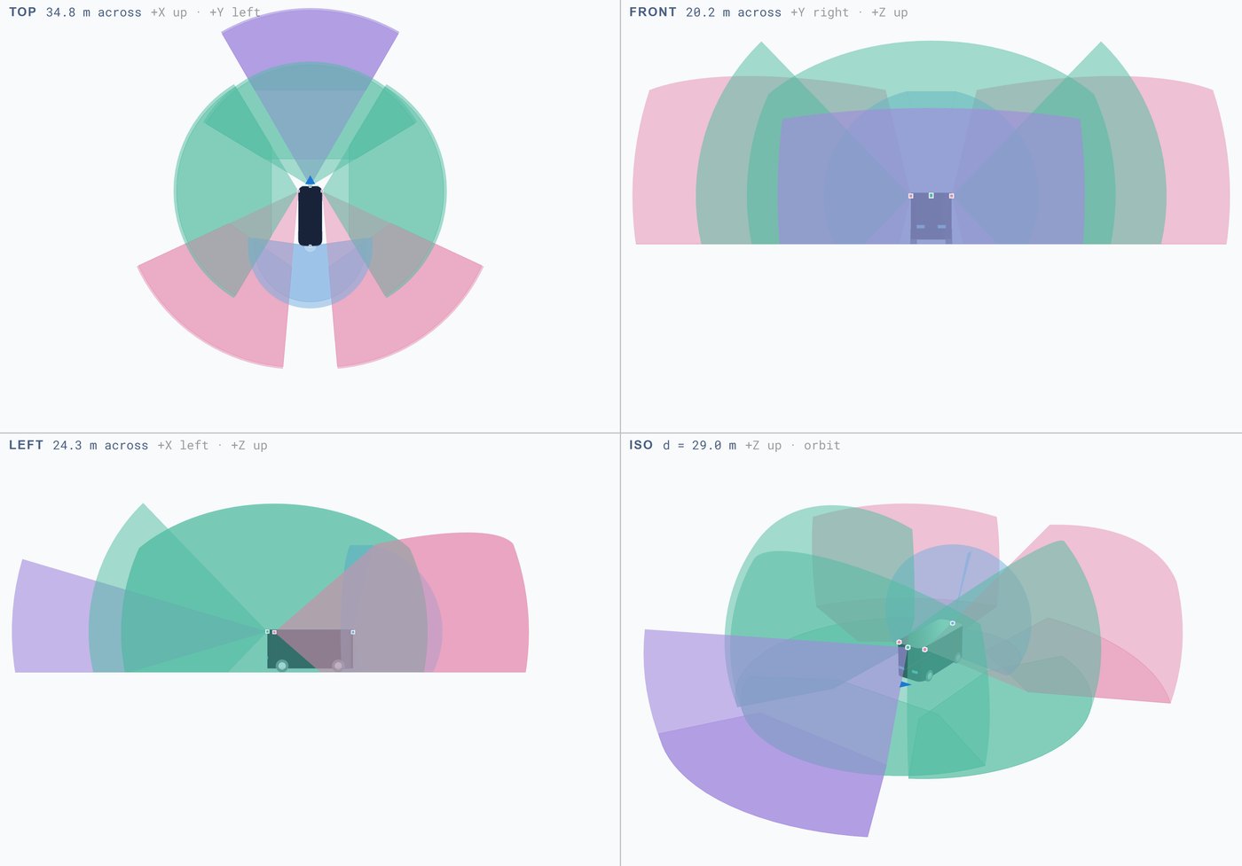
Four views
Top, front, left and isometric on screen together, with linked zoom. A single 3D view makes volumes look continuous that separate when viewed down the vehicle axis. The grid is fine to 25 m, heavy every 10 m, and extends to 200 m.
Vehicle parameters
Length, width, height, ground clearance, wheelbase and wheel radius; car, van or bus.
Ground clearance and wheel radius set the sensor height above the road plane, and the road plane is what a downward-tilted frustum intersects. A 100 mm change in clearance moves the blind ring in front of the bumper.
Axis convention
+X forward, +Y left, +Z up — ROS REP-103 and ISO 8855. Positions and rotations transfer to a URDF or an extrinsics file without sign changes.
What to check
- Near-field ring: how wide it is, and what will be inside it.
- Mid-side gap behind the B-pillar: closes with a corner sensor or a wider mount.
- Overlap: Merge overlaps switches between per-sensor volumes and their union.
- FOV below ground: draws the part of a cone passing under the road. Off by default. Shows how much of a tilted sensor is aimed at tarmac.
Export
Vehicle and layout export and import as files. Send us a layout if you want the suite quoted.
Scope
fovlab is not a sensor simulator. There is no ray tracing, no material response, no weather and no detection probability. It answers one question: given these mounting positions and these fields of view, what volume is covered. Range and detection performance come from the datasheet and from testing.